
OTT, Thomas (2003): Das Europa der Regionen. Deuframat – Deutschland und Frankreich auf dem Weg in ein neues Europa – Materialien für den Geschichts- und Geographieunterricht, Braunschweig/Marburg: Georg-Eckert-Institut für internationale Schulbuchforschung
OTT, Thomas (2003): L’Europe des régions. Deuframat – L’Allemagne et la France vers une nouvelle Europe – Materiéls pour l’enseignement de l’histoire et de la géographie, Braunschweig/Marburg: Institut Georg Eckert, Centre international de recherches sur les manuels scolaires
Volltext
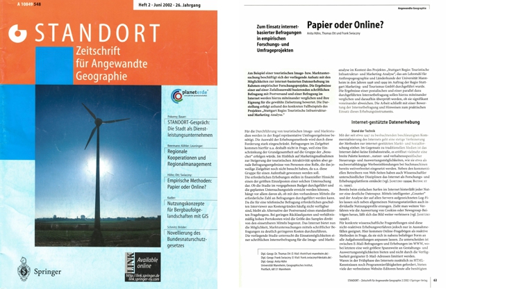
HÖHN, Anita / OTT, Thomas / SWIACZNY, Frank (2002): Papier oder Online? Zum Einsatz Internet-basierter Befragungen in empirischen Forschungs- und Umfrageprojekten. Standort 26 (2), 63-69
Kurzfassung
Am Beispiel einer touristischen Image- bzw. Marktuntersuchung beschäftigt sich der vorliegende Aufsatz mit den Möglichkeiten zur internet-basierten Datenerhebung im Rahmen empirischer Forschungsprojekte. Die Ergebnisse einer auf einer Zufallsauswahl basierenden schriftlichen Befragung mit Postversand und einer Befragung im Internet werden hierzu miteinander verglichen und ihre Eignung für die gewählte Zielsetzung bewertet. Die Darstellung erfolgt anhand des konkreten Fallbeispiels des Projektes „Stuttgart Regio: Touristische Infrastruktur- und Marketing-Analyse.”
Volltext
OTT, Thomas / STERR, Thomas (2002): AGUM Abfallmanager Handbuch, Heidelberg / Weinheim: IUWA/OAGIS
STERR, Thomas / OTT, Thomas (2002): Instruments for the promotion of a sustainability oriented management of waste by inter-industrial coordination within an industrial region. In: European Regional Science Association (Ed.): From Industry to Advanced Services – Perspectives of European Metropolitan Regions, ERSA 2002, Dortmund, Congress CD-ROM
Kurzfassung
The raise of material efficiency is of special importance in the provision of solutions for a more sustainable path of development. One of the main approaches in this direction is the resource saving closure of material circulations among industrial actors. This means at least: maximum rate of recycling combined with a minimum in downgrading processes and spatially close output-input relations – or, in other words: a substantial reduction of social, entropic and spatial distance within the circle-closing process. How can these distances be reduced in order to promote the further spreading of an industrial closed circle economy? What are the present obstacles in the industrial reality and how can they be removed on the level of a firm, an industrial district or an industrial region? These were important questions at the beginning of a research process funded by the Federal Ministry of Education, Science, Research and Technology (BMBF) in order to encourage eco-industrial development in the of Rhine-Neckar region. Taking the results of our close cooperation especially with SME, the problem solving capacity of this industrial region is high enough to close the circles for industrial residues regionally. The dimension of an industrial agglomeration with more than 1,5 million inhabitants could thus already be regarded as a potential output-input system for industrial waste. Nevertheless this capacity is far from being exploited. Taken the fact, that the largest deficiencies were found in the informational situation of SME, two kinds of instruments were developed to facilitate the acquisition and the advantageous usage of waste information by inter-industrial coordination on the level of the industrial region. As informational basis the project coordinators developed a comprehensive, clear and systematic informational structure. A socalled ‘AGUM waste manager’ was developed as a software tool, that meets all the needs not only for internal information and communication but also for exchanges with potentially fitting output-input partners outside the border of the enterprise. As information on the composition of a certain waste is relatively scarce, the transfer of materials goes together with substantial costs for control, that can only be diminished or substituted by mutual confidence between the two actors. And even a pure informational exchange of waste manager-data between different enterprises would hardly work without a face-to-face contact. Our transparency-guided approach to promote regional sustainability did thus include the development and institutionalisation of an inter-industrial network, that first of all incorporates industrial producers (especially SME) but also other actors, that stand for the problem solving capacity of the region (i.e. universities, political administrations and other institutions) and can thus contribute to the identification and implementation of sustainable-oriented solutions in a regional context.
Volltext

OTT, Thomas / SWIACZNY, Frank (2001): Time-integrative GIS. Management and analysis of spatio-temporal data, Berlin / Heidelberg / New York: Springer
Kurzfassung
The book deals with the integration of temporal information in Geographic Information Systems. The main purpose of an historical or time-integrative GIS is to reproduce spatio- temporal processes or sequents of events in the real world in the form of a model. The model thus making them accessible for spatial query, analysis and visualization. This volume reflects both theoretical thoughts on the interrelations of space and time, as well as practical examples taken from various fields of application (e.g. business data warehousing, demographics, history and spatial analysis).
Volltext
Leseproben und eine vollständige eBook-Ausgabe sind auf der Seite des Springer-Verlages erhältlich:
http://www.springer.com/gp/book/9783540410164
Rezensionen
“In keeping with their promise of a solutions-oriented approach to presenting time in GIS, the authors give a wealth of interesting examples.”
Environment and Planning b vol 30, no. 3, 2003, pp. 465-466
“Mensen die nog nooit met GIS hebben gewerkt, maar dit overwegen te doen, hebben hier echter een prima GIS-leeboek mee in handen. In de breedte worden beginnende gebruikers goed op weg geholpen, terwijl er ruim voldoende verwijzingen (onder meer een literatuurlist van 53 pagina’s) zijn om diepere kennis op te doen.”
Kartografisch Tijdschrift vol. XXVII, no. 4, 2001, S. 59-60
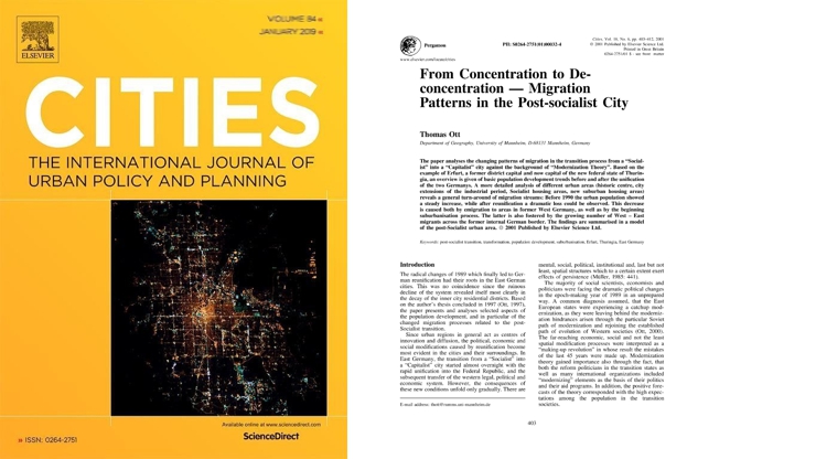
OTT, Thomas (2001): From concentration to de-concentration – Migration patterns in the post-socialist city. Cities 18 (6), 403-412
Kurzfassung
The paper analyses the changing patterns of migration in the transition process from a “Socialist” into a “Capitalist” city against the background of “Modernization Theory”. Based on the example of Erfurt, a former district capital and now capital of the new federal state of Thuringia, an overview is given of basic population development trends before and after the unification of the two Germanys. A more detailed analysis of different urban areas (historic centre, city extensions of the industrial period, Socialist housing areas, new suburban housing areas) reveals a general turn-around of migration streams: Before 1990 the urban population showed a steady increase, while after reunification a dramatic loss could be observed. This decrease is caused both by emigration to areas in former West Germany, as well as by the beginning suburbanisation process. The latter is also fostered by the growing number of West – East migrants across the former internal German border. The findings are summarised in a model of the post-Socialist urban area.
Volltext
http://www.sciencedirect.com/science/article/pii/S0264275101000324
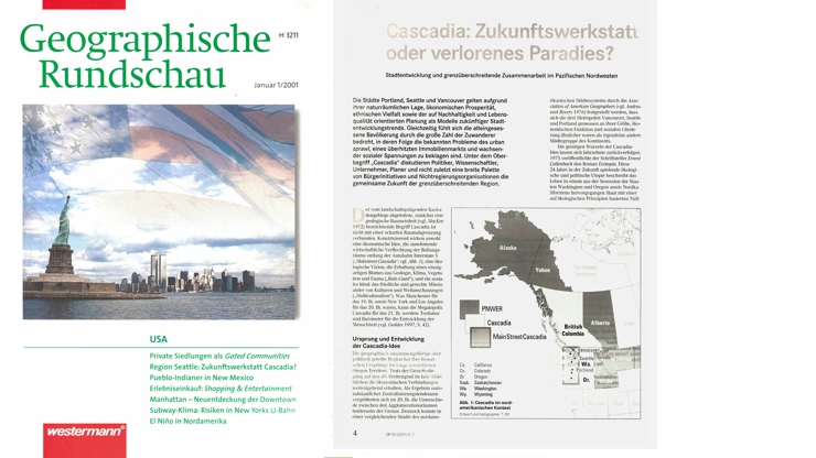
OTT, Thomas (2001): Cascadia: Zukunftswerkstatt oder verlorenes Paradies? Stadtentwicklung und grenzüberschreitende Zusammenarbeit im pazifischen Nordwesten. Geographische Rundschau 53 (1), 4-11
Kurzfassung
Due to their scenic natural location, economic prosperity, ethnic variety, as weil as a planning policy that aims for sustainability and quality of life, the cities of Portland, Seattle, and Vancouver may serve as role models for future urban development trends. However, the region is under threat by a rising number of immigrants, both from overseas as weil as from other states or provinces. This process in turn fosters the wellknown problems of urban sprawl, rising real estate prices, and increasing social tensions. Under the heading “Cascadia” politicians, academics, business people, planners, and not the least a broad range of initiatives and NGOs discuss the future of the region. Cascadia is based on three ideas: in economic terms it deals with the increasing interconnections of the metropolitan areas along lnterstate 5 (“Mainstreet Cascadia”); ecological goal is the preservation of a unique biome of geology, climate, vegetation, and wildlife (“Raincoast”); the social ideal is a peaceful and fair coexistence of different cultures (“Multiculturalism”).
Volltext
OTT, Thomas (2001): Apfelstädt – Erfurt-Vieselbach – Güterverkehrszentrum Thüringens? In: SEDLACEK, P. (Ed.): Thüringen – Geographische Exkursionen, Gotha: Klett-Perthes, 44-45
Volltext
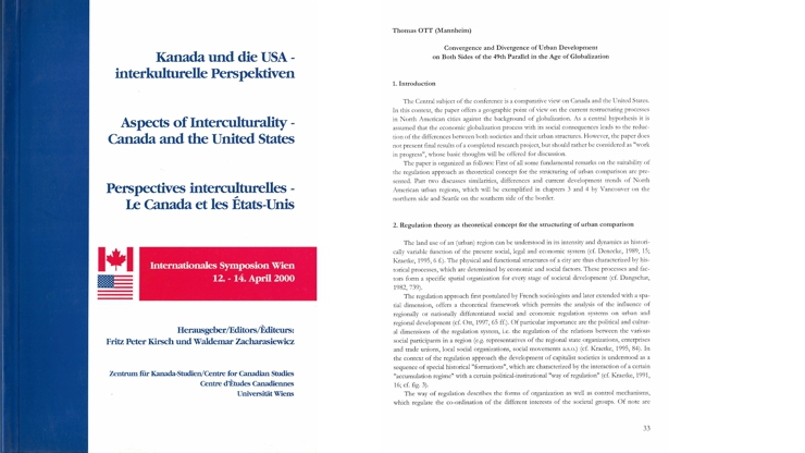
OTT, Thomas (2001): Convergence and divergence of urban development on both sides of the 49th parallel in the age of globalization. In: KIRSCH, F.P. / ZACHARASIEWICZ, W. (Eds.): Kanada und die USA – interkulturelle Perspektiven / Aspects of Interculturality – Canada and the United States / Perspectives interculturelles – Le Canada et les Etats-Unis, Vienna, 33-50
Kurzfassung
Am Beispiel der Städte Vancouver und Seattle untersucht der Vortrag Gemeinsamkeiten und Unterschiede kanadischer und U.S.-amerikanischer Städte. Als Ausgangshypothese wird dabei unterstellt, dass der ökonomische Globalisierungsprozess mit seinen sozialen Folgen zu einer Verringerung der Unterschiede zwischen beiden Gesellschaftssystemen und ihren räumlichen (Stadt-)Strukturen führt. Da beide Städte zahlreiche Gemeinsamkeiten aufweisen, ist es möglich, konvergente und divergente Faktoren der Stadtentwicklung zu identifizieren, ohne dass der Vergleich durch externe Einflüsse behindert wird. Als theoretischer Analyserahmen dient der Regulationsansatz, der eine Einbettung der Stadtentwicklungsprozesse in lokale wie globale ökonomische und soziale Akkumulations- und Regulationszusammenhänge erlaubt.